Digitalt kortarkiv for Jarkko Ryyppö
|
Log ind
Alle brugere
|
Sprog:
Dansk
Česky
Dansk
Deutsch
Eesti
English
Español
Français
Italiano
Magyar
Norsk
Português
Svenska
Türkçe
|
DOMA 3.0.6
Tilbage
<< Lynx kansallinen (25-05-2012)
|
3 hills, where? (28-05-2012) >>
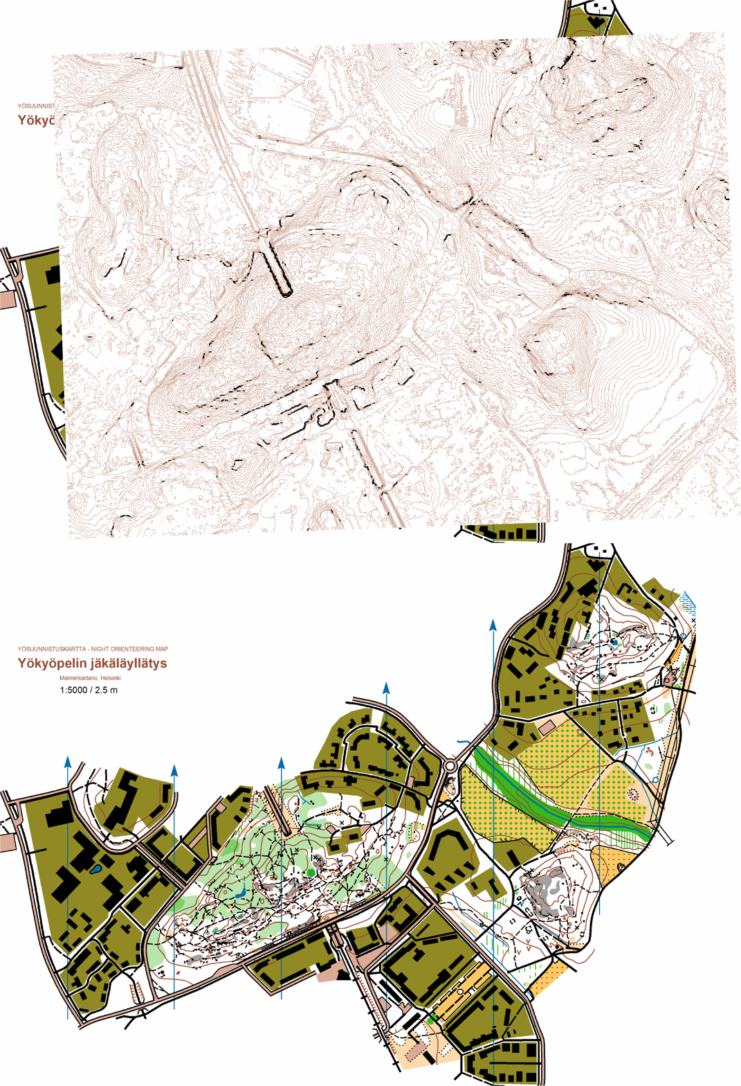
Yökyöpelin jäkäläyllätys vs LIDAR map (27-05-2012)
Kategori:
Training
Animation, the year old cell phone mapped map vs quick and dirty OL-laser LIDAR basemap. Just to see how well it was mapped and what was the accuracy I got with the GPS powered cell phone app.
 Dansk
Dansk Česky
Česky Deutsch
 Eesti
Eesti English
 Español
 Français
 Italiano
 Magyar
 Norsk
Norsk Português
 Svenska
 Türkçe