Digitalní archív orienťáckých map pro Jarkko Ryyppö
|
Přihlásit
Všichni uživatelé
|
Jazyk:
Česky
Česky
Dansk
Deutsch
Eesti
English
Español
Français
Italiano
Magyar
Norsk
Português
Svenska
Türkçe
|
DOMA 3.0.6
Zobrazit postupy
Skrýt postupy
|
Zobrazit náhled na Google mapě
Skýt náhled na Google mapě
|
Otevřít v Google Earth
|
GPX
|
RG
|
Zpět
<< 2013-03-17 (16.03.2013)
|
FinnSpring 2013 (26.04.2013) >>
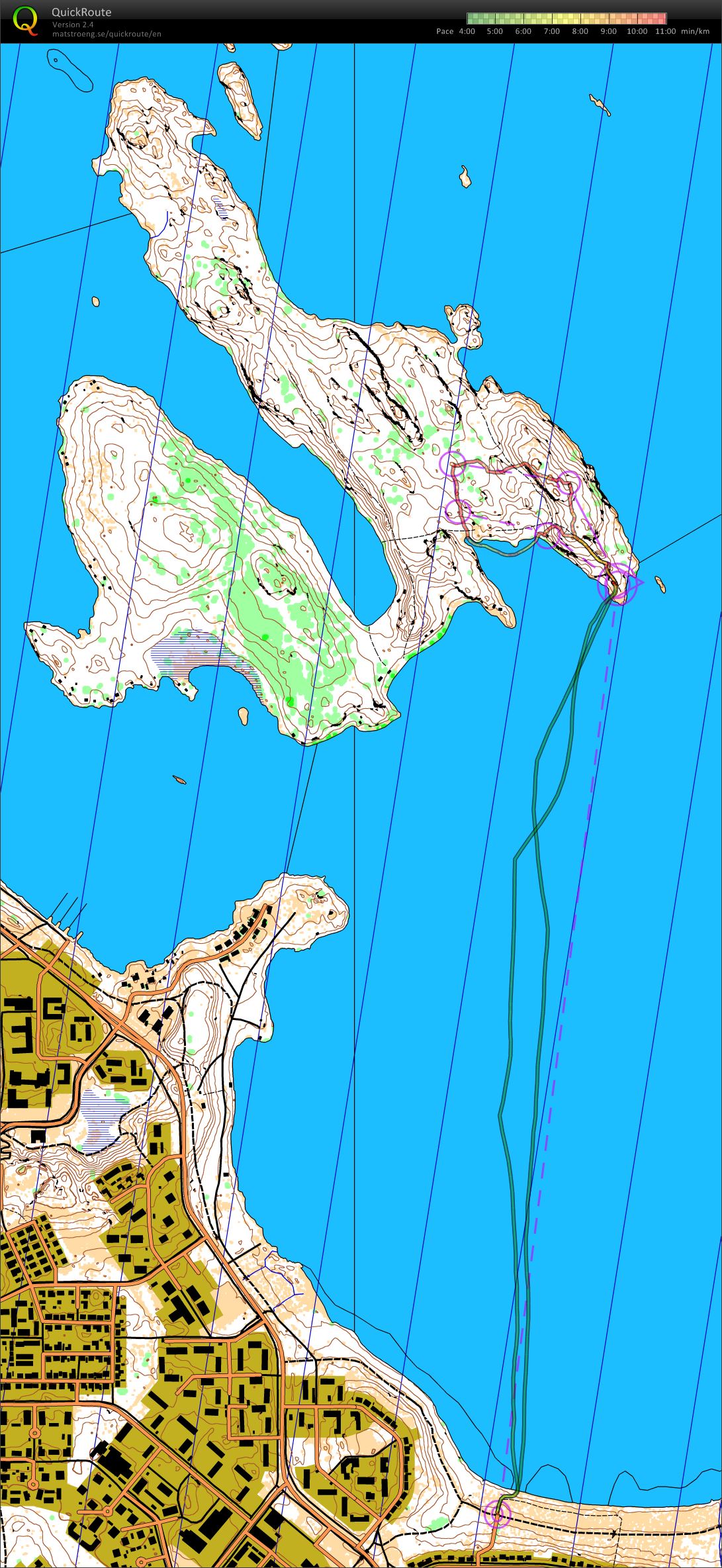
Ruohosaari training (01.04.2013)
Kategorie:
Competition
Mapa/oblast:
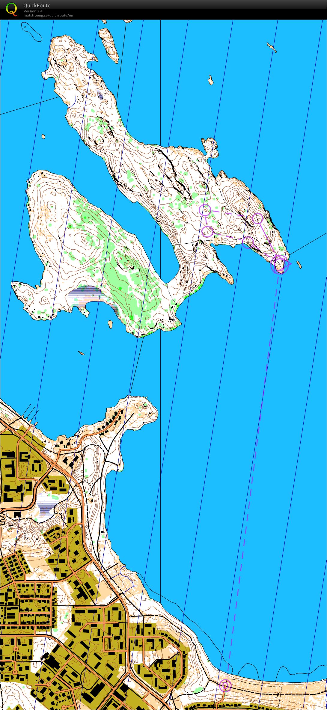
Ruohosaari, LPR, Karttapullautin map
Pořadatel:
Jagge
Země:
Finland
Skutečná délka:
6.42 km
Čas:
42:16
I made a map with Karttapullautin, then skate skiing to Ruohosaari island to see if there is too much snow for orienteering. Hard snowy crust on top of ice, nice for skiing, but about knee deep soft snow up there in forest, not good of running with ski boots.
 Česky
Česky Dansk
Dansk Deutsch
 Eesti
Eesti English
 Español
 Français
 Italiano
 Magyar
 Norsk
Norsk Português
 Svenska
 Türkçe